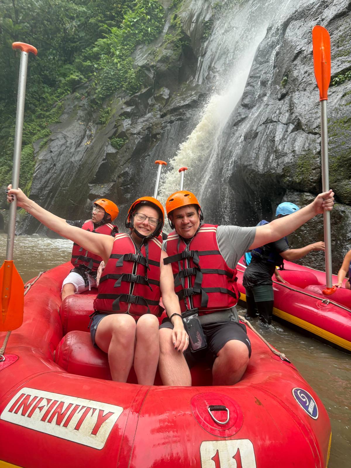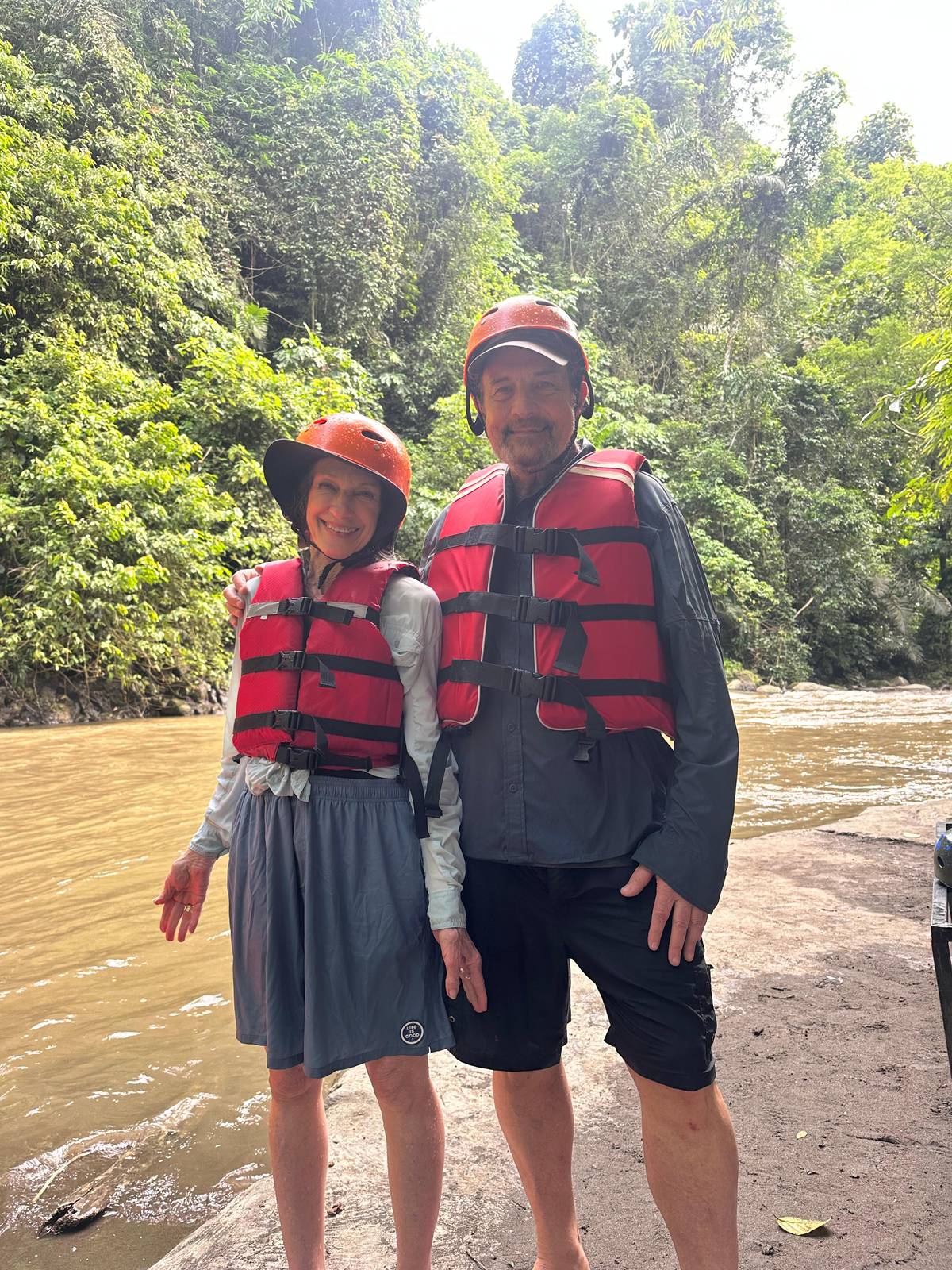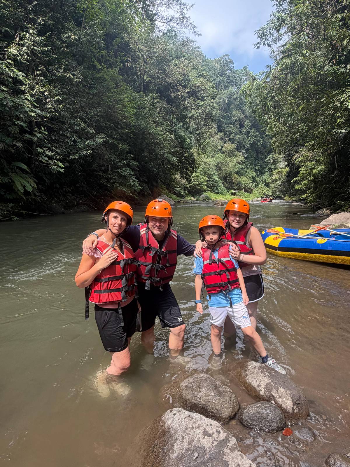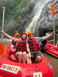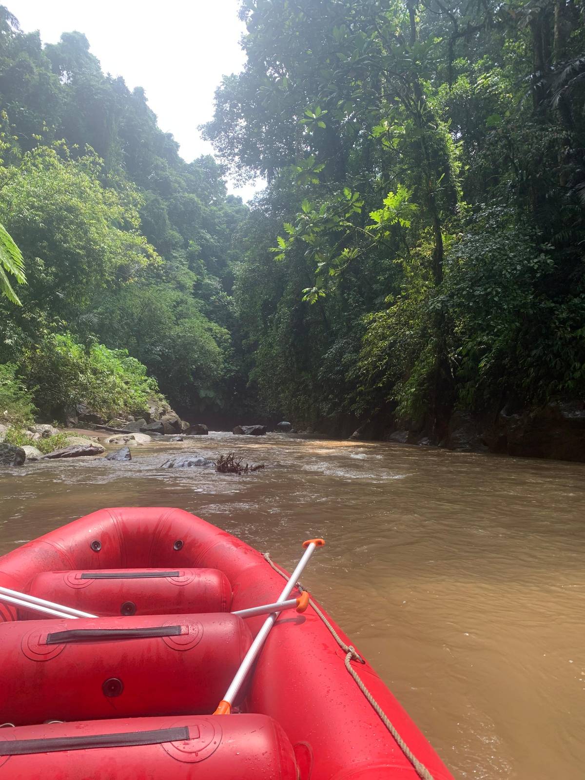
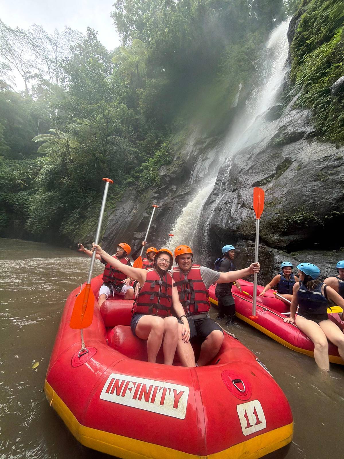
 Class II and III
Dry-season Ayung
Lower, clearer water
- Grade
- Class II and III
- Skill
- Basic paddling
- Feel
- Rough water, small drops
Guides
Language
EnglishCurrency
US dollar · $Your currency applies on GetYourGuide too.
Guide · The river
Bali's longest river runs from the Kintamani highlands to the sea at Sanur. The part you raft is a short, steep-walled section near Ubud, and its grade shifts with the rain.
Editorial team, rafting-ubud.comUpdated October 24, 20266-minute read36 sources
The river in brief
The Ayung River is the longest river on Bali. Wikipedia gives it 68.5 km, running from the northern mountain ranges through the Bangli, Badung and Gianyar regencies and the city of Denpasar to the Badung Strait at Sanur.1 Indonesia Travel, the Ministry of Tourism's site, gives a longer 75 kilometres and calls it the widest river on the island as well.7
Its source lies near Kintamani, on the southern slope of the range that divides north and south Bali, and it reaches the sea at Padanggalak Beach in Sanur.2 In Balinese it is the Tukad Ayung, in Indonesian the Sungai Ayung.8
Upstream, three tributaries feed it: the Tukad Bangkung from Pelaga, the Tukad Menggani from Catur and the Tukad Siap from Kintamani, meeting at Payangan.9 From there the river cuts south through a gorge of rice terraces and forest, past the villages west of Ubud where the rafting bases sit, before it flattens out on the plain near Denpasar.
Source to sea
Kintamani
The river rises near Kintamani in the northern mountains.2
Payangan
The Bangkung, Menggani and Siap join here.9
Petang to Carangsari
The most scenic stretch, with little human influence.10
Kedewatan
Where Ayung rafting is based, near Ubud.7
Sanur
The Ayung reaches the sea at Padanggalak Beach.2
Indonesia Travel places Ayung rafting at Kedewatan, on the edge of Ubud, about 20 minutes from the town and about an hour from most tourist centres.711 Bases line Jalan Raya Kedewatan, and the trip this site books meets guests at no. 44.
Wikipedia notes that the most scenic stretch of the river lies upriver, from Petang to Carangsari, with little human influence, and that its many challenging rapids make the Ayung a good river for rafting.10 On the rafted section the scenery is rainforest, rice fields, carved stone walls and waterfalls, by the ministry's description.12
The carved walls are a sight you only get from the water, panels of figures cut into the rock of the gorge, and the ministry lists them among the river's scenery.12 When the water allows, some guides pull over at waterfalls or calm pools, which is the moment for a photo or a swim.13 Look up, too: the gorge walls are tall, and the rim of the valley can feel far above you.
Grades by source
| Source | Dry season | Rainy season |
|---|---|---|
| Indonesia Travel | Class II and III | Class IV |
| This site's trip | Class 2 | Up to class 4 |
| Wikipedia, family routes | Class II and III | Not stated |
| Bali Bintang run | Class II and III | Not stated |
| Rafting and swing | Grade I to III | Not stated |
As each source states it; a grade changes with the level of the river.34617
Three moods of one river
Class II and IIILower, clearer water
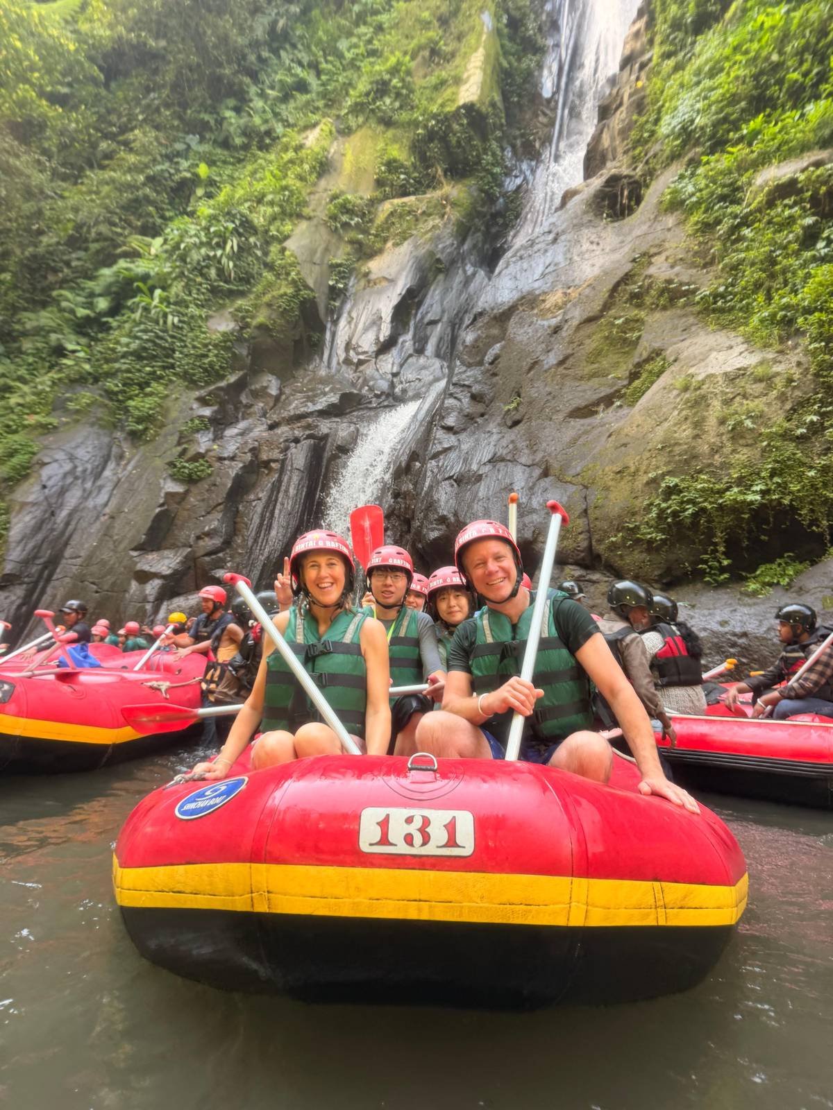 Class IV
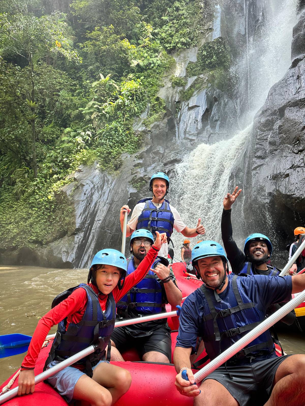 Waterfalls, carvings
Between the rapids
The rapids of most family routes (about 33 rapids) are class II and III
Rafters grade rivers on the International Scale of River Difficulty, which American Whitewater created to rate rivers anywhere in the world.18 It has six classes and is neither linear nor fixed.19 When people ask about types of rafting, this scale is usually what separates a gentle family float from an expert-only run.
Class I is easy, fast water with riffles and small waves.20 Class II is novice water with wide, clear channels.21 Class III, intermediate, brings moderate, irregular waves that can be hard to avoid.22 Class IV, advanced, means intense but predictable rapids that need precise boat handling.23 Classes V and VI are expert and extreme water, far beyond anything the Ayung's listings describe.2425
A plus or minus after a grade marks the upper or lower end of the class.26 Note that this scale is not the same as the whitewater scale published by a committee of the International Canoe Federation, so a grade quoted in Europe and one quoted in Bali may not be measured alike.27
Map
The Ayung gorge west of Ubud, where the site's trip runs, then the island with the Telaga Waja in the east and the Ayung from its source to the sea.
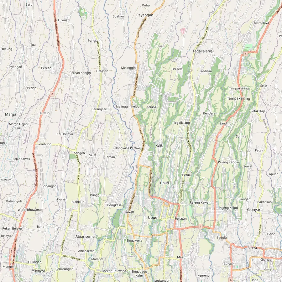 1Toekad Rafting base2Ubud3Payangan
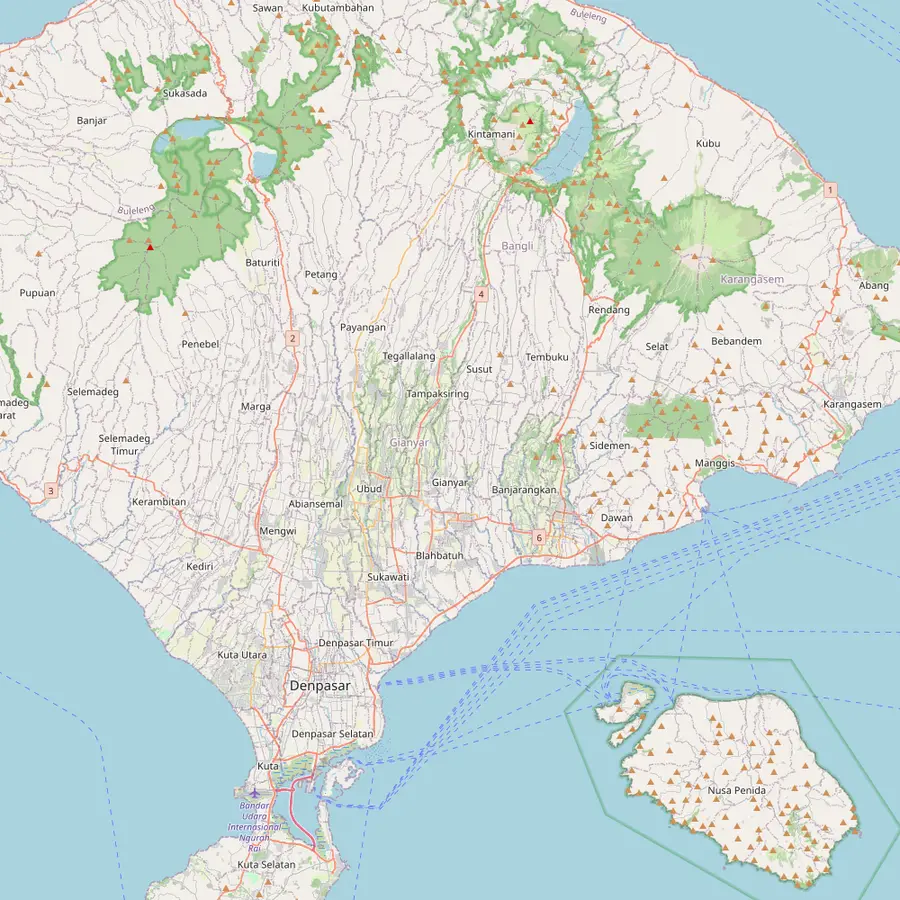 4Kedewatan5Muncan6Sidemen7Kintamani8Sanur9Kuta
The site tour stops here for a 30-minute buffet lunch after 2 hours on the river.
In Google Maps ↗Indonesia Travel puts the Ayung about 20 minutes by car from Ubud.11
In Google Maps ↗Three upper tributaries, from Pelaga, Catur and Kintamani, meet here to feed the Ayung.9
In Google Maps ↗Indonesia Travel places Ayung rafting at Kedewatan; the meeting point of the site tour is on its main road.7
In Google Maps ↗One Telaga Waja listing starts its run in Muncan, Rendang.
In Google Maps ↗That listing finishes in Sidemen, after about 18 km of river by its own figure.
In Google Maps ↗The Ayung rises near Kintamani.2
In Google Maps ↗The Ayung reaches the sea at Padanggalak Beach in Sanur.2
In Google Maps ↗Telaga Waja listings give 1.5 to 3 hours by car from Kuta, Seminyak or Jimbaran.
In Google Maps ↗Checklist
Video
The video loads only when you tap play.
Indonesia Travel gives the clearest answer: class II and III in the dry season, with some rough water, rocks and small drops but no considerable danger, and class IV in the rainy season, when the water level rises.34 Wikipedia's Ayung article puts most family routes at about 33 rapids of class II and III.6
Listings use the same language. The trip this site books gives class 2 rapids that sometimes rise to class 4 in the rainy season. The Bali Bintang run calls its rapids beginner-friendly class II and III, and the premium trip names class II and III as well. A listing with a jungle swing gives grade I to III, for beginners and first-time rafters.
Why the spread? The grade of a river changes with its flow, and usually does.17 High water generally makes rapids harder, although some get easier when rocks are covered.28 Sobek, an operator on both Bali rafting rivers, describes the Ayung as the more relaxed, scenic river with gentle rapids, ideal for families and beginners.29 Read a grade as a range across the year, not a fixed number.
How long is Ayung River rafting from launch to landing? Indonesia Travel describes a 10-kilometre route that takes 1.5 to 2 hours.5 One listing gives a 12 km route with about 2 to 2.5 hours of rafting. Operators start from different bases, so the exact stretch varies.
On the listings, time on the river is mostly 2 or 2.5 hours. The trip this site books lists 2 hours of rafting, the Bali Bintang run 2.5 hours and Sobek describes a 2-hour ride on its own trip.30 A Batur sunrise day gives 3 hours on the Ayung after the hike.
Add the walk at both ends. Indonesia Travel advises checking where each operator starts and finishes, to know how far you will walk up or down.31 On the trip this site books, the listing warns of a large number of steps down to the river and back up. Plan for a half-day in all once the drive, the stairs, a shower and lunch are counted.
The Ayung is a rain-fed river, and the rain falls unevenly along it. Upstream, Wikipedia gives average annual rainfall of around 1963 to 3242 mm.14 In the middle course it is about 1998 to 3176 mm, with 105 to 128 rainy days a year.15 Near Denpasar it falls to around 1486 mm and 69 rainy days.16
Flow follows the rain. Measurements from 1973 to 1986 put the discharge at about 6.6 to 14.2 cubic metres a second, averaging 8.69.32 That is a figure from decades ago, but the pattern it shows still holds as a guide: a river fed by highland rain rises and falls with the seasons.
For a rafter, the colour of the water is the quickest clue. Clear, green water over visible rocks belongs to the drier months; brown, fast water after a night of rain means the river is up, and the guides will read it accordingly. Indonesia Travel's class IV reading for the rainy season describes that high-water river, with medium-large waves and sharper bends.4
Bali has three main rafting rivers, by Indonesia Travel's count: the Ayung, the Telaga Waja and the Melangit.33 The Ayung is the one reached from Ubud, and the one this site is about; the Telaga Waja runs through Karangasem in the east and is, by Wikipedia's account, the island's second-longest river after the Ayung.34
Sobek, which runs both, describes them differently. It says the Telaga Waja has stronger currents and more continuous class II to III rapids, with longer runs and open landscapes, while it calls the Ayung the more relaxed and scenic river.3529 On its own trip page Sobek grades its Telaga Waja run class III+, which shows how loosely the same river can be described.36
For a first rafting day from Ubud, the Ayung's main advantage is distance: about 20 minutes from the town, against a much longer drive east.11 Our Telaga Waja page compares the two in detail. Whichever you choose, treat the grade as a range that moves with the rain, and let the guide on the day tell you what the river is doing.
Your morning
Choose a time between 9 AM and 1 PM, add pickup if you like, and cancel free up to 24 hours before.
68.5 km by Wikipedia's figure. Indonesia Travel gives 75 kilometres; both call it Bali's longest river.17
Near Kintamani, and at Sanur. It rises near Kintamani and reaches the sea at Padanggalak Beach in Sanur.2
II and III in the dry season. Indonesia Travel classes it IV in the rainy season, when the water rises.34
About 33 on most family routes. Wikipedia counts about 33 rapids of class II and III on most family routes.6
About 10 to 12 km. Indonesia Travel gives 10 kilometres; one listing gives a 12 km route.5
The Ayung, by one operator's account. Sobek calls the Ayung the more relaxed river and the Telaga Waja the one with stronger currents.2935
Yes, with the flow. Wikipedia notes that a river's grade usually changes with the level of flow.17
Sources
Keep reading